UPDATE: Severe weather has just struck New Orleans and surrounding areas, leading to urgent tornado watches and flash flood warnings from the National Weather Service (NWS). Residents are facing hazardous conditions as thunderstorms unleash heavy rainfall and the threat of tornadoes, disrupting daily life and creating potentially dangerous situations.
As of this morning, July 16, 2023, the NWS has issued a tornado watch until noon for nine parishes in Southeast Louisiana, including Jefferson, Orleans, and St. Tammany, along with five parishes in Southern Mississippi, notably Hancock and Harrison. Forecasters predict additional thunderstorms could develop after 4 p.m., with south winds expected at around 10 mph.
A Special Weather Statement is in effect for Timberlane, where a strong thunderstorm is reported to be capable of producing funnel clouds and wind gusts exceeding 40 mph. The storm is currently moving northeast at 35 mph, impacting areas such as Chalmette and Marrero, as well as parts of Interstate 10.
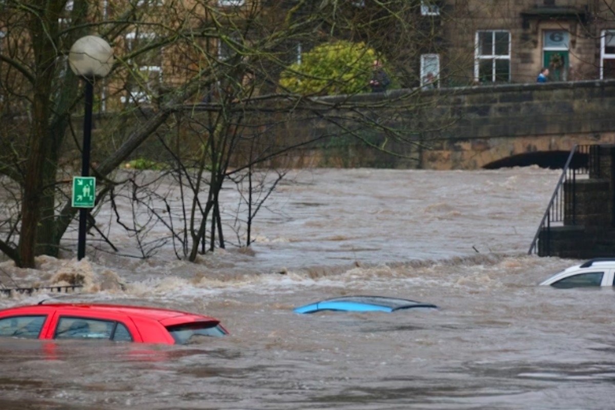
Heavy rainfall has already led to significant flash flooding in small creeks, streams, and urban zones. The NWS is warning of likely flooding on streets, highways, and low-lying areas. Motorists are strongly advised to avoid flooded roads as the risk escalates. A broader Flood Warning remains active until 10 a.m. CDT, indicating potential overflow of rivers and drainage systems.
Additionally, a Flood Advisory continues to be in effect, cautioning residents about minor flooding in low-lying and poorly drained areas, with forecasts of an additional 1 to 2 inches of rainfall possible. Authorities urge residents to remain vigilant as flood risks persist across New Orleans and nearby communities.
Residents are encouraged to stay tuned to local news outlets and the NWS for the latest updates as this situation continues to develop. Share this urgent information with friends and family to keep everyone safe during these severe weather conditions.