UPDATE: A major winter storm is currently battering the Midwest and Great Lakes region, wreaking havoc on travel plans for millions of Americans returning home after Thanksgiving. The storm has unleashed heavy snowfall and perilous road conditions, resulting in significant delays at major airports.
Travelers at Chicago O’Hare and St. Louis Lambert airports are facing delays of about one hour as of Saturday morning. Meteorologists are warning that another winter storm could impact the Northeast early next week, potentially prolonging travel disruptions even further.
The National Weather Service has issued winter storm warnings and advisories across a vast area from Montana to Ohio, with some regions already reporting more than 8 inches of snow. In a concerning incident, at least 45 vehicles crashed on westbound Interstate 70 near Terre Haute, Indiana, leading to highway closures, though thankfully, no serious injuries have been reported.
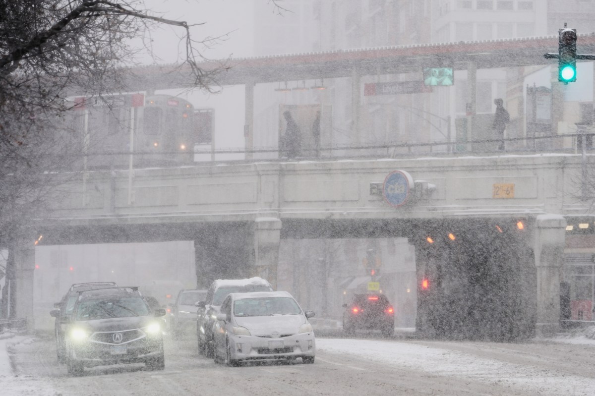
Northern Iowa saw over 8 inches of snow by Saturday morning, with similar totals expected in Chicago, much of Illinois, Wisconsin, Indiana, and Michigan. Forecasts predict snow accumulation rates could exceed one inch per hour in several areas, creating treacherous conditions for both air and ground travel.
Beyond the Midwest, the storm is set to unleash thunderstorms and heavy rainfall from southern Missouri to Louisiana and Texas. As winds whipped up icy conditions along Chicago piers, motorists struggled with slushy roads throughout the affected region.
While conditions have not yet met blizzard warning criteria—which require sustained winds of at least 35 mph, visibility under a quarter mile, and duration exceeding three hours—authorities are urging caution.
Sheriff Del Garcia of Grant County, Indiana, advised residents during an interview with the Associated Press:
“Stay home, have a nice cup of hot chocolate, watch some TV, play some games.”
AccuWeather meteorologist Alyssa Glenny highlighted that the corridor facing the most significant disruptions includes areas with projected snowfall between six to twelve inches, such as Des Moines, IA, Chicago, IL, Green Bay, WI, Milwaukee, WI, and Grand Rapids, MI. Glenny also noted,
“Looking ahead, we are closely monitoring a separate storm that will originate from the South-Central U.S. and advance northeastward through the Southeast and into the Northeast corridor.”
Travelers should stay vigilant as the storm system continues to affect the region and the potential second storm approaches the Northeast early next week. Hazardous road conditions are expected to persist throughout the weekend, with airport delays likely to continue as snowfall remains a factor.
Stay updated on weather forecasts and prepare for possible travel delays as this situation unfolds.