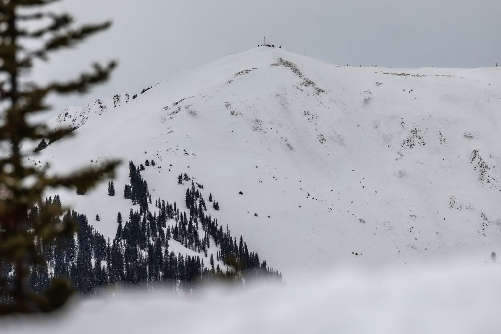
BREAKING: A warm storm has just swept through Colorado’s northern mountains, delivering significant snowfall totals of up to 10 inches at several resorts. The storm, which began late last week, concluded Friday morning, February 15, 2026, leaving ski enthusiasts eager for fresh powder.
The highest snowfall was recorded in areas near Summit County and along the Continental Divide, with resorts like Copper Mountain leading the charge. Other notable totals include Winter Park at 9 inches and Breckenridge Ski Resort also at 9 inches. These totals are crucial for skiers and snowboarders looking for optimal conditions this weekend.
Meteorologists from OpenSnow had accurately predicted these totals earlier this week, expecting between 5-10 inches of snow, which closely matched the actual figures. Lower elevation areas and valleys experienced rain and cloudy conditions due to the warmer nature of the storm, with the snow line resting around 9,000 feet.
Here are the latest snowfall totals reported from Wednesday through Friday morning:
– Copper Mountain: 10 inches
– Winter Park: 9 inches
– Breckenridge Ski Resort: 9 inches
– Arapahoe Basin Ski Area: 8.5 inches
– Keystone Resort: 8 inches
– Loveland Ski Area: 7 inches
– Vail Mountain: 7 inches
– Steamboat Resort: 6 inches
– Beaver Creek: 6 inches
– Irwin: 4.5 inches
– Cooper Mountain: 4 inches
– Aspen Mountain: 0.5 inches
– Snowmass: 0.5 inches
– Sunlight: 0.5 inches
Looking ahead, the forecast indicates that Friday and Saturday will be dry, but expect showers in the northern regions on Sunday. The next storms are anticipated to arrive around March 3-4 and March 6-7, continuing to favor the northern mountains.
This development is vital for winter sports fans, as these snowfall totals enhance skiing conditions, boosting tourism and local economies in Colorado’s mountain regions. Stay tuned for real-time updates and enjoy the slopes!