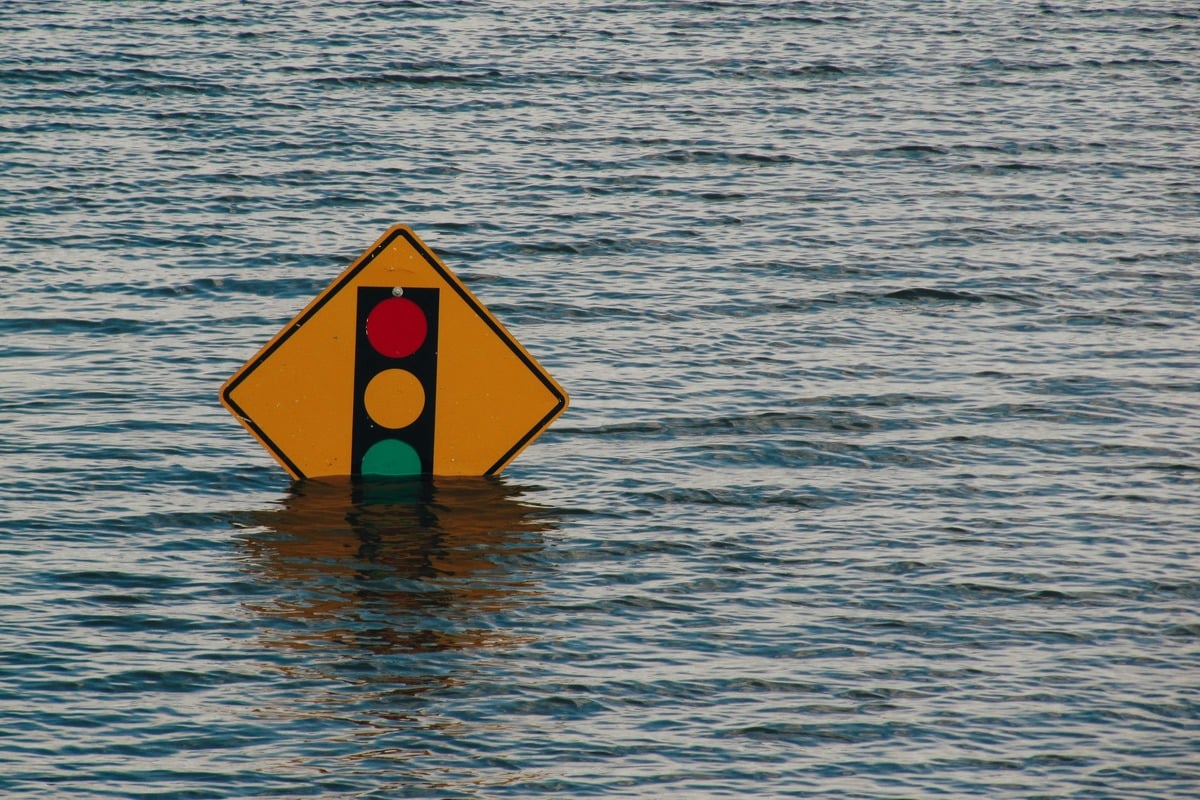
UPDATE: The National Weather Service (NWS) has issued a hydrologic outlook for the Seattle region, warning of potential flooding as a powerful atmospheric river is set to impact the area from Friday, October 13 through Saturday night. Residents are urged to stay alert as heavy rainfall is predicted, particularly in the Olympic Peninsula and Washington Cascades.
Forecasters expect rainfall amounts between 2 to 4 inches, with localized areas potentially receiving over 5 inches. The Skokomish River is forecast to reach minor flood stage on Saturday, prompting alerts for residents in Mason, Jefferson, Clallam, Whatcom, Skagit, Snohomish, and King counties.
The NWS warns that areas with recent burn scars could face flash flooding or debris flows, adding pressure to already stretched emergency response teams. With urban grounds saturated from previous rains, rain today could lead to nuisance flooding. Residents are reminded to clear storm drains to prevent water accumulation.
As of this morning, Seattle reported 45°F with high humidity at 87%. Winds are calm at 6 MPH, but rain is expected to intensify after 2 PM, with high temperatures reaching around 56°F.
Looking ahead, the forecast indicates a 100% chance of rain tonight, with temperatures dropping to a low of 51°F and gusts possibly reaching 32 MPH. The NWS describes this weather event as a “moderately strong atmospheric river,” emphasizing the significant shift in weather that could lead to severe conditions.
Residents in affected areas are strongly encouraged to monitor the latest river forecasts and prepare for adverse conditions. Stay tuned for further updates as this situation develops, and take necessary precautions to ensure safety.