Researchers have unveiled the first three-dimensional image of the **Popocatepetl Volcano** in Mexico, a significant advancement aimed at enhancing understanding of its interior and the implications for volcanic activity. This breakthrough not only sheds light on **magma accumulation** but also serves to improve disaster preparedness for the millions living in the vicinity of this active volcano.
The research team, led by **Marco Calo**, a geophysicist from the **National Autonomous University of Mexico (UNAM)**, has dedicated years to studying **Popocatepetl**, affectionately known as **El Popo**. With approximately **25 million people** residing within a **62-mile radius**, the potential risks of an eruption are substantial. Hazards could affect not just residential areas but also critical infrastructure, including schools, hospitals, and airports.
Until now, while many hazardous volcanoes have detailed interior maps, **Popocatepetl** lacked comprehensive data on its internal structure and magma chambers. Previous studies provided initial insights but fell short in resolution. In response, Calo’s team expanded the number of **seismographs** monitoring the volcano from **12 to 22**, enabling them to measure ground vibrations at a rate of **100 times per second**. This enhanced data collection was analyzed by **Karina Bernal**, a doctoral student, using artificial intelligence to refine their algorithms.
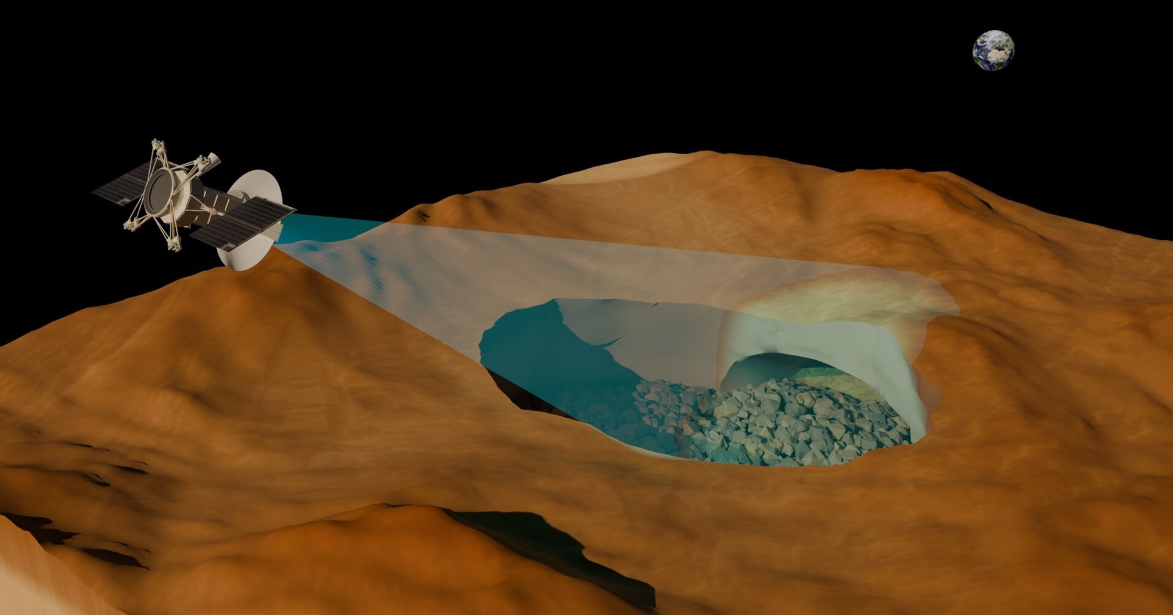
Through this advanced analysis, the team was able to identify and categorize various **seismic signals**, inferring properties such as material states, temperatures, and depths within the volcano. The resulting **3D image**, which extends **11 miles** below the crater, reveals multiple magma pools at varying depths. This sophisticated imagery offers a more nuanced understanding of **Popocatepetl** compared to traditional representations.
Popocatepetl is a dynamic volcano with a history spanning over **20,000 years**. It has shown continuous activity since **1994**, regularly emitting smoke, gas, and ash, which leads to the formation of volcanic domes and eruptions. Calo emphasizes the importance of fieldwork, stating that firsthand experience is essential for understanding the volcano’s behavior.
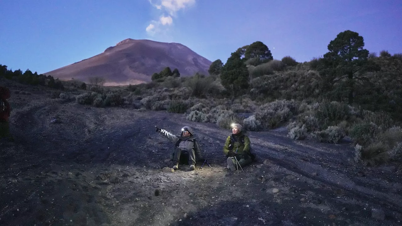
During a recent expedition, the team established a camp at **12,500 feet**, providing a safe vantage point for observation. The area offers breathtaking views of nearby peaks, including **Pico de Orizaba** and **Iztaccíhuatl**. Notably, when the volcano is more active, sounds of small tremors and ash falling can be heard, enhancing the sense of its dynamic nature.
Calo’s dedication to the subject is evident as he discusses the historical impacts of **Popocatepetl**, including significant events that affected local communities. The team’s meticulous internal mapping is not only pivotal for forecasting volcanic activity but also crucial for public safety. Understanding the internal environment and composition of the volcano allows researchers to better predict potential hazards, ultimately improving the safety of those living in affected areas.
This pioneering research marks a significant step in understanding one of the world’s most active volcanoes, providing crucial data that will aid authorities in their preparedness efforts. With **Popocatepetl** continuing to pose a threat to millions, the implications of this work are profound and far-reaching.